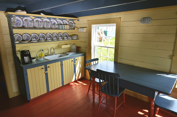
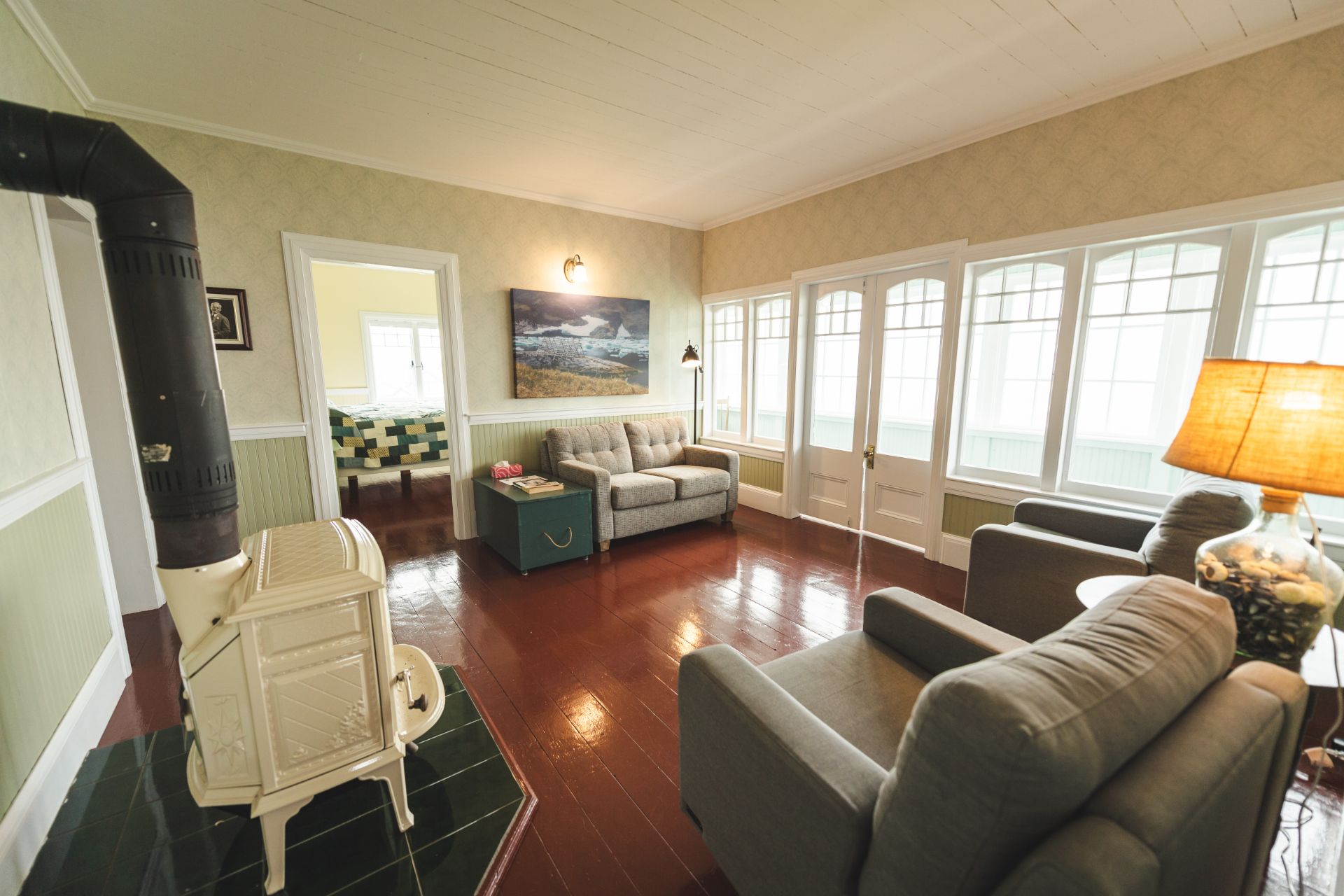
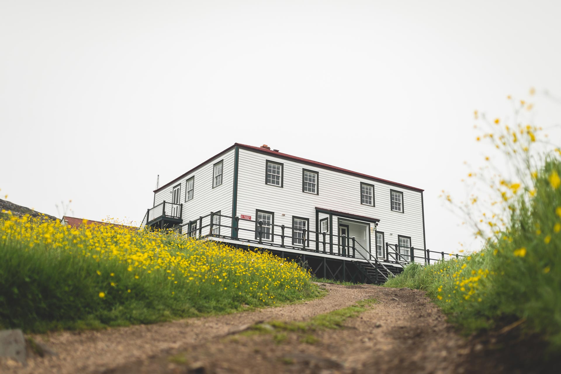
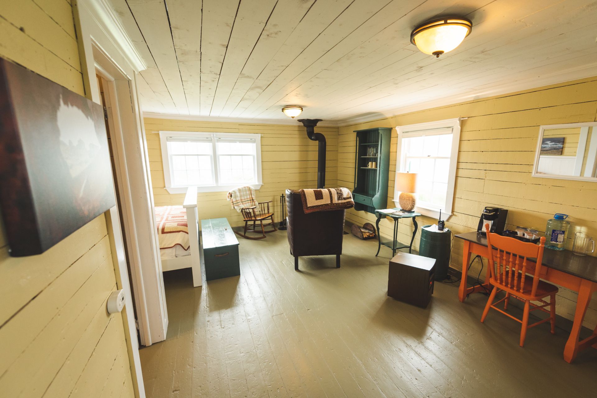
Auto Routes
Surface Routes
Mary's Harbour, on the southeast coast of Labrador, is accessible by road year round. However, accessibility does depends on the Strait of Belle Isle Ferry Service and snow conditions on the Trans Labador Highway.
From anywhere in continental North America, drive to North Sydney, Nova Scotia from where Marine Atlantic's ferry service will take you to Port Aux Basques, Newfoundland. For information regarding this ferry service visit the Marine Atlantic website.
The provincial department of transportation has a very useful "driving database" that can be used to estimated driving times at posted speedlimits between most communities in Newfoundland and Labrador. See http://www.stats.gov.nl.ca/DataTools/RoadDB/Distance/
Newfoundland's Viking Trail
Upon arrival in Newfoundland drive north on the Trans Canada Highway, Route 1. Drive as far as Deer Lake. From there turn off Route 1 onto Route 430, the Viking Trail. Follow Route 430 through beautiful Gros Morne National Park, one of two UNESCO World Heritage Sites on the Viking Trail. The other site being L'Anse Au Meadows National Historical Site at the end of Route 436. Along the Viking Trail look for signs indicating distances to the Labrador Ferry. The ferry terminal is located in St. Barbe. The MS Apollo departs St. Barbe and docks in Blanc Sablon, Quebec. Drive just 4 km North of Blanc Sablon and you meet Route 510, Labrador Coastal Drive. See more information on the Strait of Belle Isle Ferry Service.
Labrador Coastal Drive
Route 510 is the beginning of the Labrador Coastal Drive. Plan stops at the Gateway to Labrador Visitor Information Centre and Museum, Point Amour Lighthouse, Labrador Straits Museum and Red Bay National Historic Site. The pavement ends at Red Bay but a well maintained gravel road continues north to Mary's Harbour and other communities along the coast as far north as Cartwright. At Mary's Harbour, visit Battle Harbour's "Visitor Information Centre & Ferry Terminal" to confirm arrangements of your visit to Battle Harbour. It will take you approximately 2.5 hours to drive from the Blanc Sablon ferry dock to Mary's Harbour.
Trans-Labrador Highway
The Trans-Labrador Highway (TLH), Route 500 connects central and western Labrador with the neighbouring province of Quebec via Route 389 or by train from Sept Isles, Quebec. Telephone (709) 944 8205/2490 for more information on the train.
The TLH from Happy-Valley Goose Bay was joined with route 510, the Coastal Labrador Drive, in mid December 2009 and now by-passes the road to Cartwright However, a portion (approximately 50km) will require some additional surfacing during the summer of 2010.
Upgrades to the TLH section of gravel road between Labrador City to Happy Valley- Goose Bay (534km/332miles) were made during 2009 (8km paved from Lab City eastward and 30km paved from Goose Bay westward). Additional paving is being planned for 2010 ( i.e an additional 72km of paving completed on the Labrador City end and an additional 50km on the Goose Bay) to bring the total length of paved highway to 160km by the end of this year's season.
Local Travel
The communities from L'Anse Au Clair to Red Bay are linked by a 80 km paved highway. A well maintained gravel road connects Red Bay with communities on the southeast coast of Labrador as far north as Cartwright. You should allow 2 to 2.5 hours to drive from L'Anse Au Clair to Mary's Harbour and another 2.5 to 3 hours to drive from Mary's Harbour to Cartwright.
Within the region there is a full range of automotive, RV services and snowmobile services including gasoline and diesel stations, repair shops, propane outlets, waste disposal sites, etc.
Rental vehicles ranging from compact cars to full size pick ups and 4 wheel drives for winter travel are available from the Eagle River Rent-A-Car Ltd in Forteau
Phone: 709 931-3300 for additional information.

